Task – Design a network
When designing a radio link, it is crucial to ensure the quality of the connection between its endpoints. In practice, this boils down to two issues: line of sight between antennas and maintaining an obstacle-free Fresnel zone (see our FAQ for more details), and cost-effectiveness, which requires determining the lowest possible height for masts or towers that ensures uninterrupted transmission. We can help resolve both of these issues.
How it's working?
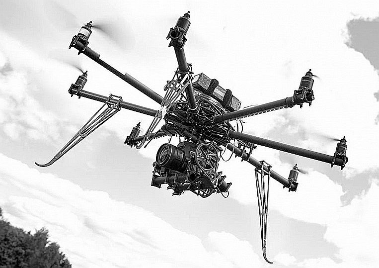
Network design begins with an analysis of elevation maps. However, the assumptions made at the desk must be verified in the field—and that is the essence of our service. We check line-of-sight using two tools: a drone equipped with a high-resolution camera and a telephoto lens (at the location of the first antenna) and a set of helium-filled weather balloons (at the location of the second). Moving along the azimuth determined from the map, we take a series of photos at various balloon altitudes. Analysis of these photos allows us to determine the minimum height of the subscriber mast required to ensure proper connectivity.
Technical requirements?
The service currently in use allows for accurate measurements up to 12 km. Good weather conditions are required—no rain, no wind, and a temperature above −10°C.
Price?
The scope and duration of the measurement depend heavily on the specific characteristics of the terrain. On average, we are able to verify approximately 6 locations in a single workday (assuming a distance of 10 km between network points). The cost of a measurement day is 3,200 PLN net (including a report and data analysis) plus the team’s travel expenses.